


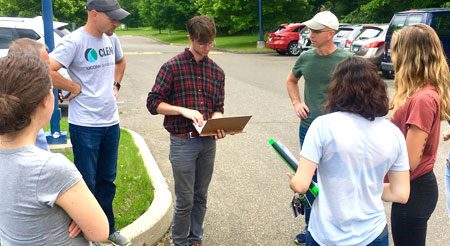
Training Opportunities
Intro to GPS Mapping with Avenza Maps
April 23, 2024, Haddam, CT (in-person)
The Geospatial Training Program offers training opportunities for Connecticut’s land use decision makers and others, including state agency employees, land trust volunteers, teachers and citizens. Topics have included Introduction to Geographic Information Systems (GIS), Smartphone GPS mapping and other advanced topics. GTP has trained over 3000 individuals since 2007. We are currently updating course content to offer new and improved learning opportunities. Archived course materials are available upon request.
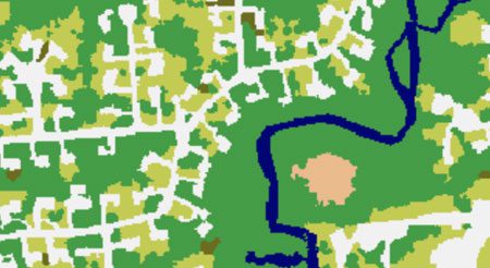
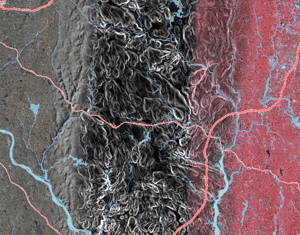
1-meter land cover, oh my!
Take a look at the high resolution statewide land cover—1 meter pixel resolution and 17 classes.
Featured Projects & Resources
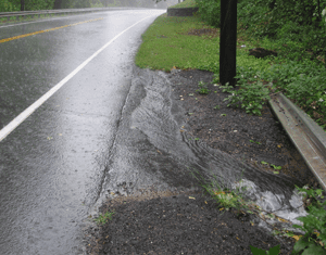
CT MS4 Guide
CT NEMO is providing tools, training and other support to communities facing new stormwater rules under the MS4 general permit.
CLEAR Story Map Gallery
Story Maps combine interactive maps with photos, videos, graphics and more. From bears to breakwaters, we’ve got something for you here. Check it out!
Imagery on the New CT ECO Website
Check out statewide 2016 high resolution aerial imagery on the updated CT ECO website!
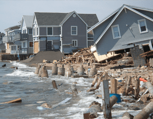
Adapt CT
A CLEAR partnership with Connecticut Sea Grant providing outreach, tools and learning opportunities focused on climate adaptation in Connecticut communities.