Providing information, education and assistance to land use decision makers, in support of balancing growth and natural resource protection.
New and Upcoming
Come work with us!

UConn CLEAR is hiring a Visiting Assistant Extension Educator in Land Use to lead our Land Use Academy and provide trainings to land use commissioners and others throughout the state. The ideal candidate will have professional, municipal-level experience in land use planning, a masters degree in a related discipline, an understanding of community resilience, experience in outreach or teaching, and a desire to be part of a fun, innovative, and amazing team of outreach professionals. Click below to read the full job description, qualifications, and instructions to apply.
Changing Landscape with NLCD
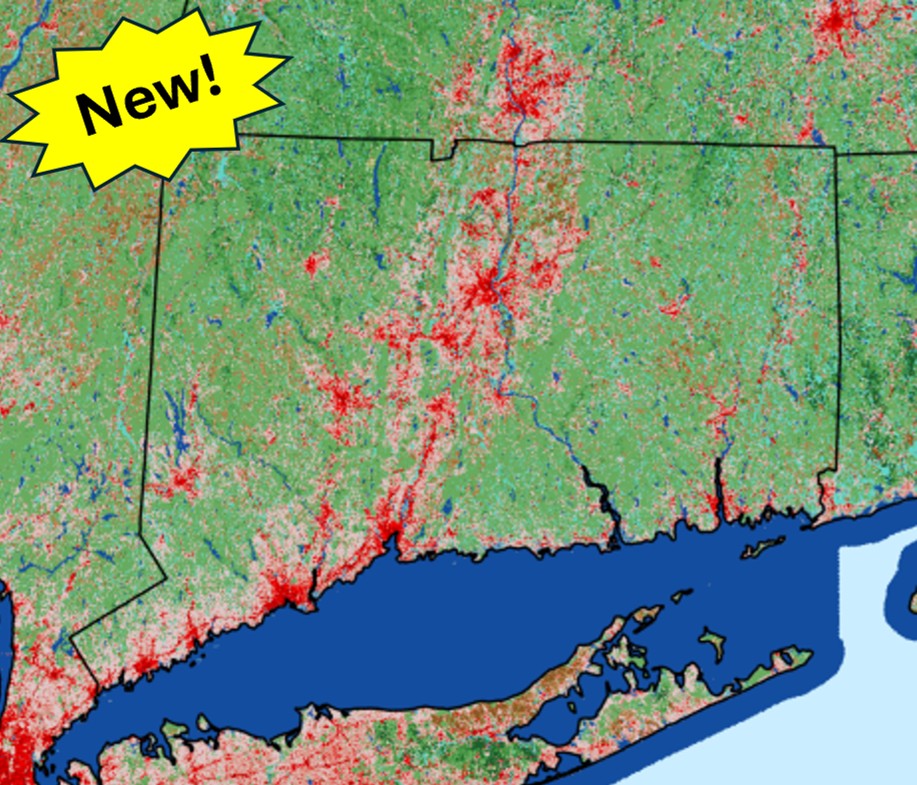
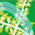
Changing Landscape is a project of UConn CLEAR that utilizes land cover maps derived from satellite images to map and quantify land cover change over time (1985-2023). These new map viewers and dashboards use the National Land Cover Database (NLCD) land cover as input to the analyses and maps, with a focus on summary data for watersheds and towns within the Long Island Sound watershed. Explore the maps and dashboards to see how the land cover has changed in your area!
CT ECO Advanced Viewer

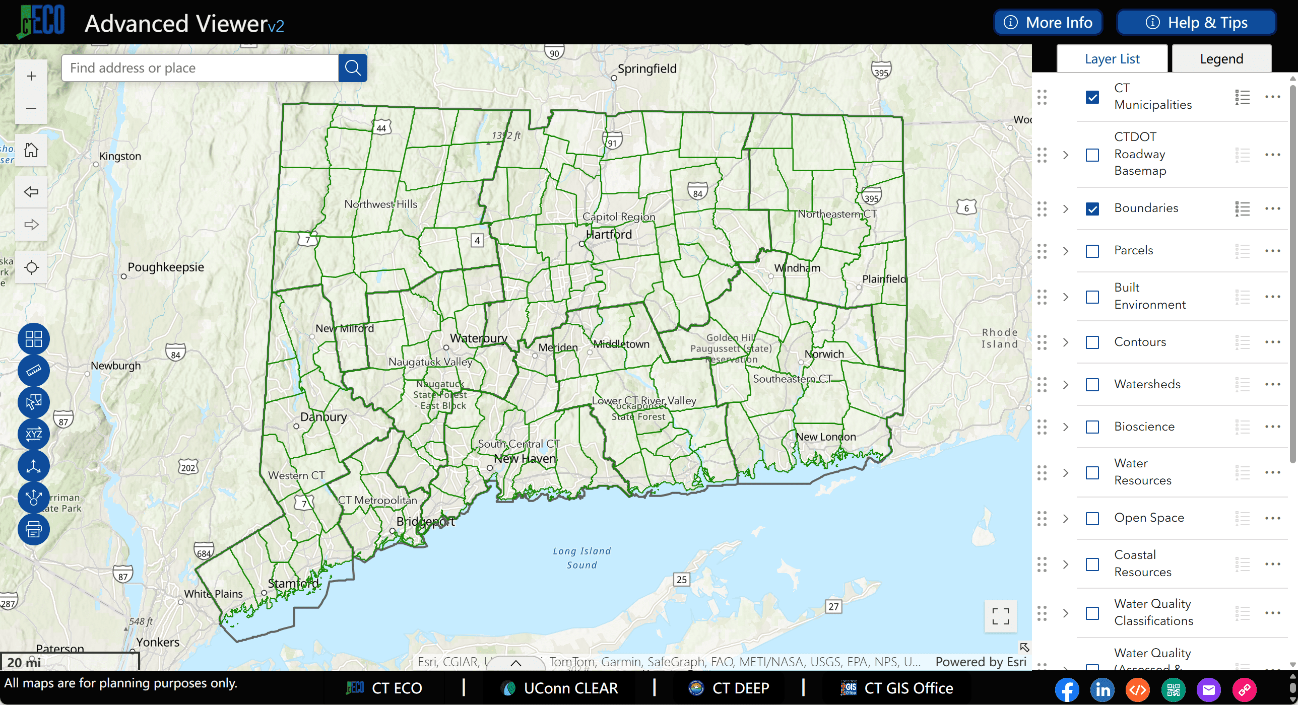
Advanced Viewer on CT ECO
The CT ECO website provides maps and geographic data for CT. Map Viewers are a popular way to view and interact with the information and the Advanced Viewer v2 is now available.
Rain Garden Certificate Course

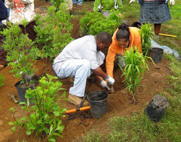
This course designed to provide guidance on how to properly site, size, install, and maintain rain gardens. There are 7 modules to be viewed at your own pace, with practice quizzes on the material for each module and a final course exam.
Land Use Academy

Land Use Commissioner Training
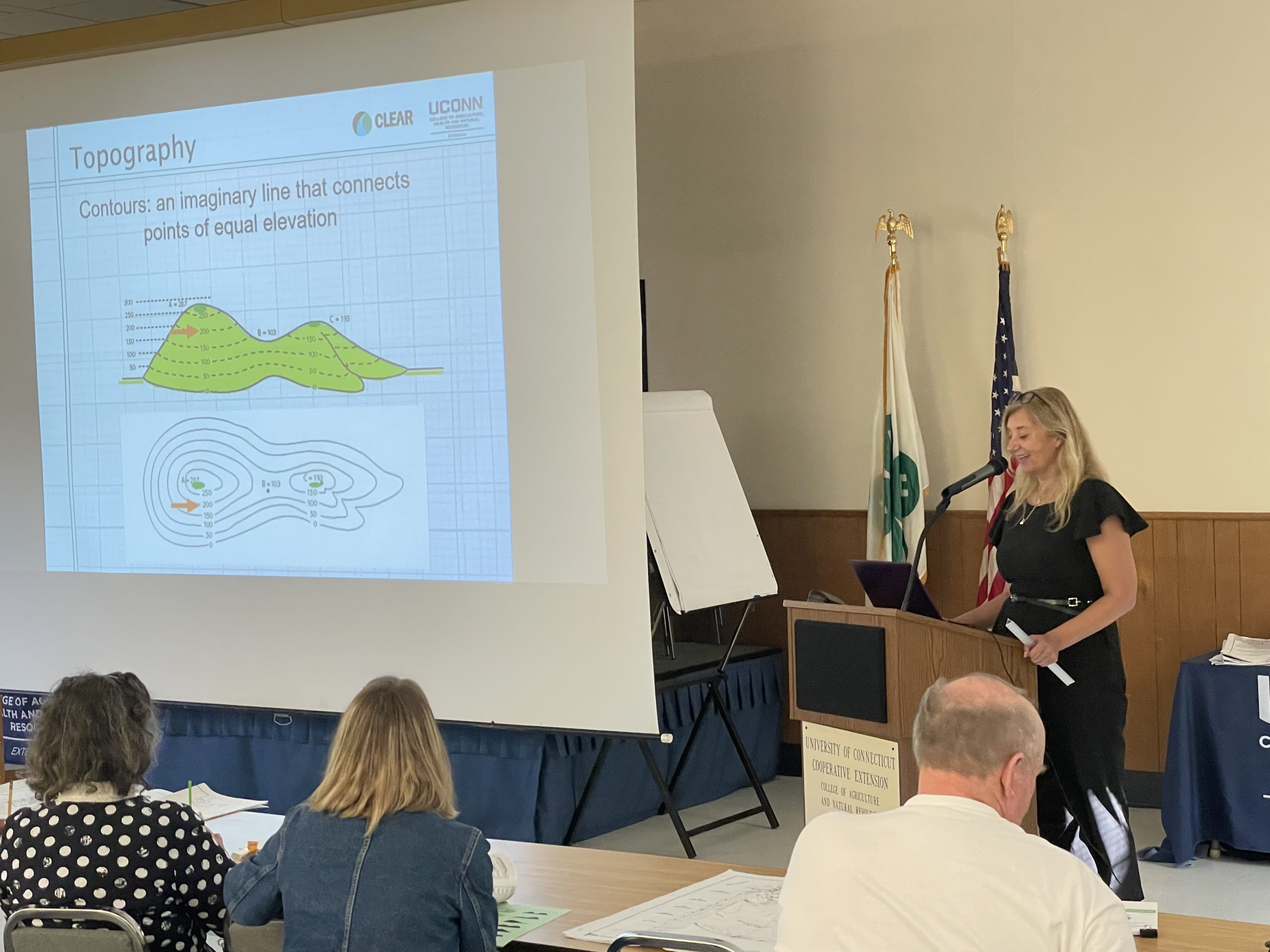
The Land Use Academy (LUA) provides practical education for critical local land use decision makers, focusing on the fundamental knowledge and skills needed to serve effectively on a local land use commission through our webinars and workshops.
News & Updates
-
Translating Housing Growth Statutes into GIS Tools and Guidance -
Tools for Implementing CT’s Wildlife Action Plan: the Conservation Action Tracker & Conservation Opportunity Areas -
Housing Growth Plans Under the New CT Housing Law: What You Need to Know -
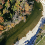
On the Edge: What do we know about Riparian Buffers? -
Required Zoning Changes for New Housing Law -
Connecticut’s New GIS Parcel Data Creation Guidance and Specifications
Upcoming Events

If not explictly stated otherwise, start_date/today and end_date/6 months are implied in the URL.
What’s Legally Required?
Mike Zizka has collaborated with UConn CLEAR on the printing of his latest (8th) edition of What's Legally Required?: A Guide to the Legal Rules for Making Local Land Use Decisions in the State of Connecticut. This 273 page book is the definitive reference guide for land use planners and commissioners in the State of Connecticut. Mike Zizka donates all proceeds from the sale to CLEAR programs.
New Story Map

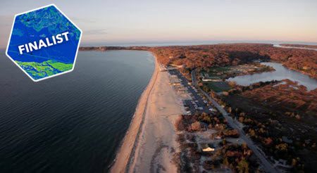
Connections to Long Island Sound
Exploring the land and people in the Long Island Sound Watershed. The Story Map, created in collaboration with the Long Island Sound Partnership, characterizes the land and people in the watershed, and shares the stories of nine people and their connection to the land and water.
It is as a finalist in the 2025 ArcGIS StoryMaps Competition! Check it out and vote for the community choice award (look for Connections to Long Island Sound)!
Featured Projects
CT MS4 Guide
CT NEMO is providing tools, training and other support to communities facing new stormwater rules under the MS4 general permit.
CLEAR Story Map Gallery
Story Maps combine interactive maps with photos, videos, graphics and more. From bears to breakwaters, we’ve got something for you here. Check it out!
Imagery on CT ECO
Check out the statewide 2023 high resolution aerial imagery, with 2026 planned for the spring, on CT ECO website!
Adapt CT
A CLEAR partnership with Connecticut Sea Grant providing outreach, tools and learning opportunities focused on climate adaptation in Connecticut communities.
Featured Story Maps
Program Areas
Water
Land use is a major determinant of both water quality and water quantity. CLEAR has several projects and programs focusing on the impact of urbanization on water resources.
Land & Climate
Land use is the bottom line! At CLEAR we have research, tools and outreach programs to help people make more informed land use decisions that protect their natural resources and make them more resilient to a changing climate.
Mapping
CLEAR's mapping expertise is focused on remote sensing analysis, development of online geospatial land use tools, and training for professionals and others in the use of various types of geospatial technology.
STEM
Connecting Connecticut high school students, adult volunteers and teachers with conservation efforts at the community level.